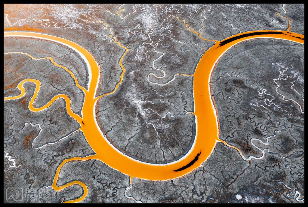
There’s a few tricks that Willie and I use when we get inspiration for our photography but the 2 more popular tools are: 1) being inspired by photos other people have taken and 2) exploring Google Earth. Sometimes another photographer will have taken a similar photo that inspires us to want to explore that area and sometimes we find things on our own with the aid of satellite pictures provided by Google. When we go to a place, we’ll pull up Google Earth and scroll around to see if there’s anything interesting. For drone photography, this is a particular useful tip as you can get a sense of what the place will look like before going.
We saw this particular “U” shaped bend in the river from Google Earth and knew we wanted to photograph it. Doing a little further research showed that at least one other photographer had photographed this before — that was enough inspiration to convince us we should go check it out. We just loved how the shape of the bend here helped guide the eye through the photo, especially with the little fingers.
The first time we visited here was on a foggy morning. The flat light allowed us to take photos and explore the area for quite a long time. But it also meant that the light was flat and not that interesting. We returned a few more times under better conditions and that’s when the scene began to glow, as you can see the ground is picking up the golden sunset light. We also loved that the river was filled with yellow algae. I came back a few weeks later and the stream was completely clear, as different algae now lived in it due to the salinity of the water changing.
DJI Mavic Pro 2 w/Hasselblad L1D-20c:
10.26mm, f/5.6, 1/30 sec, ISO 100

